


News
Go beyond the spec sheet to unlock your perfect 3D Laser Scanning solution with these five important questions
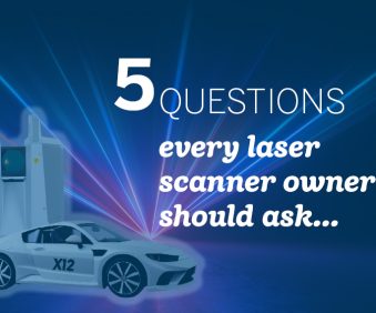
Purchasing a laser scanner shares striking similarities with buying a car! Read More
Published: 13 September 2023
Total stations are electro-optical surveying instruments that integrate an electronic transit theodolite, which measures horizontal and vertical angles, with an electronic distance meter. This allows surveyors to accurately and precisely map and measure distances and angles between two points and objects. These measurements are then collected and processed by the device, and the data can then be shared directly from the total station or downloaded onto a laptop or mobile device.
We have both robotic and mechanical devices in our range. Robotic total stations can be operated by one user via remote control, and capture measurements automatically, while mechanical total stations require two or more operators: one to stay with the instrument, the other to move the prism. Robotic devices are faster, as any movement required is done for you by the device, however manual total stations are a reliable and affordable option for many projects.
Total stations are one of the most-widely used measuring tools in surveying. They have any number of applications, usually where highly accurate measurements of angles and distance are required. Examples include construction and BIM, mapping archaeological sites, recording and measuring crime and accident scenes, and land boundary and topographic surveys.
For the modern construction professional, setting out is made simple with Trimble’s RTS series of robotic total stations. Each unit from the RTS573 upwards comes with active and passive tracking as standard, as well as optical focus for quick manual aiming and Trimble Multitrack™ for locking and tracking passive prisms. Long range laser measurement and live imaging are also available on the RTS773.
For the survey professional, look no further than the S-Series. With a range of accuracies from 5” down to 0.5”, and a maximum distance of 7000m, the S5, S7 and S9 models are designed with the flexibility and freedom that you demand. All models include as standard; direct reflex measurement (DR) both Autolock and Robotic operation, with Active Tracking as standard on the S7 and S9, and upgradable on the S5.
For full surveying, scanning and imaging requirements, the Trimble SX12 is the tool for you. Like the SX10, it combines high density 3D scan data with a 600m range, with a high accuracy total station, and Trimble VISION™ technology allowing fast and easy high resolution image capture. This hugely versatile piece of kit is suitable for an array of applications including topographic and highway surveys, as-builts, BIM, utilities surveys, forensics and mine/quarry surveys.
What do our customers rate about Trimble Total Stations? Their reliability, accuracy, and ability to keep working in rainy conditions; the MultiTrack technology for easy locking on to the target; and the addition of L2P technology, (Locate to Protect) to prevent theft and aid the recovery of any stolen instruments.
Want to find out for yourself? Get in touch and request a demo!
Purchasing a laser scanner shares striking similarities with buying a car! Read More
Published: 13 September 2023
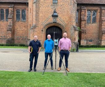
How the award-winning company, Connect Scaffolding Ltd, invested in the Trimble X9 3D Laser Scanner and why they’re “100% convinced” they made the right choice. Read More
Published: 13 September 2023

KOREC is proud to announce that we support both serving and former military… Read More
Published: 8 August 2023
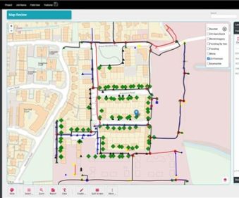
How to reliably capture accurate survey data and transform it into intelligence for increased productivity and improved decision making. Read More
Published: 21 June 2023
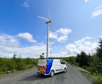
‘Whatever the challenge, we have the solution’ - Aspect Land and Hydrographic Surveys' investment in Mobile Mapping yields substantial benefits for both the company and its clients. Read More
Published: 16 August 2023
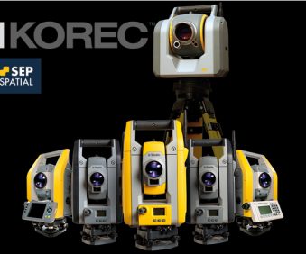
Following our recent announcement of our partnership with SEP Geospatial, we were inundated with questions! We’ve put together a list of the most frequently asked to help clarify our new working relationship and what this means for your business Read More
Published: 27 July 2023

Visitors to York Maze will find this year’s amazing maize maze, even more challenging thanks to the accuracy of a KOREC supplied Trimble TDC650 handheld GN Read More
Published: 24 July 2023
Purchasing a laser scanner shares striking similarities with buying a car! Read More
Published: 13 September 2023
How the award-winning company, Connect Scaffolding Ltd, invested in the Trimble X9 3D Laser Scanner and why they’re “100% convinced” they made the right choice. Read More
Published: 13 September 2023
‘Whatever the challenge, we have the solution’ - Aspect Land and Hydrographic Surveys' investment in Mobile Mapping yields substantial benefits for both the company and its clients. Read More
Published: 16 August 2023
